
About the Te Araroa Trail
Please note: The information provided on this website has been updated for the 2025/2026 season.
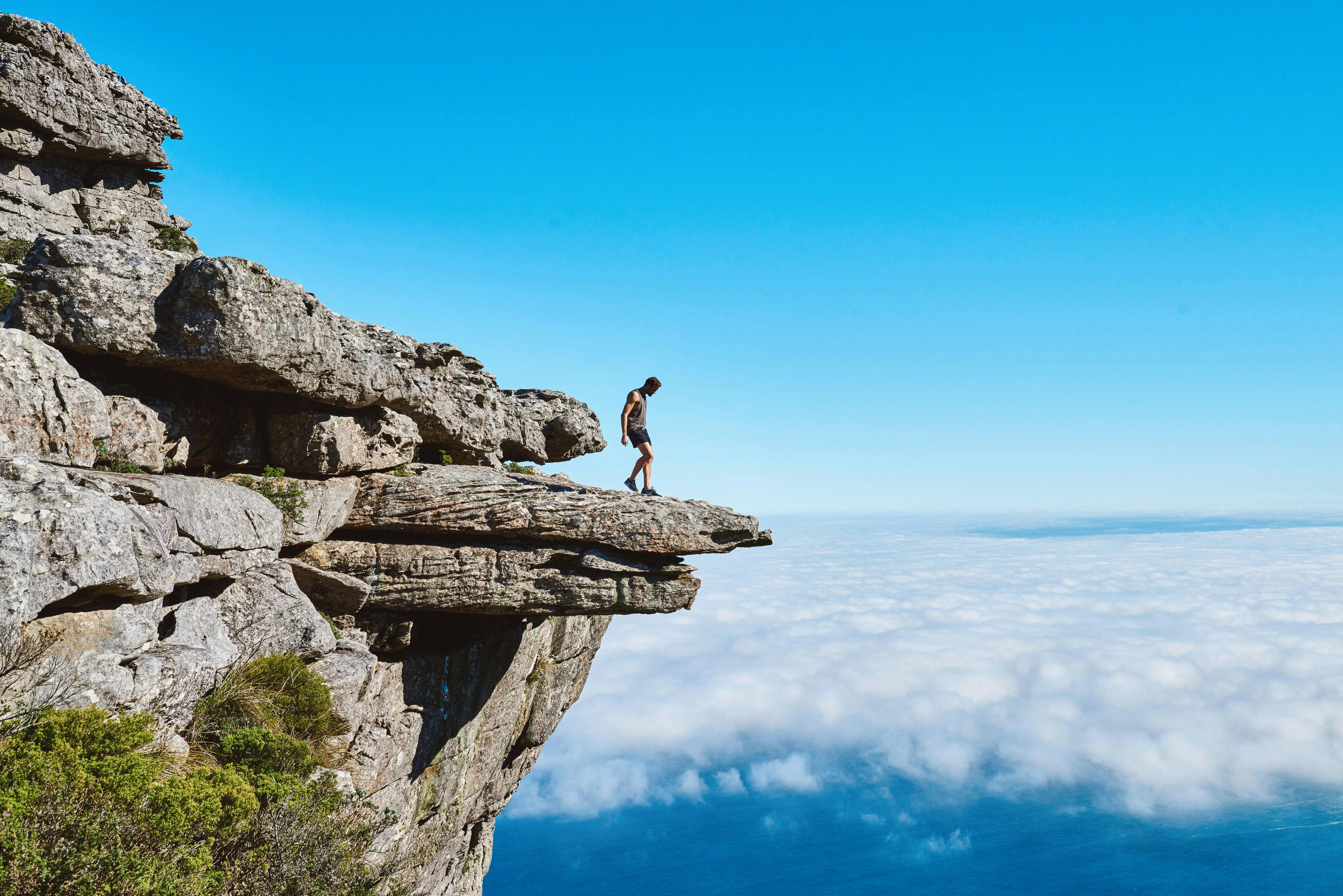
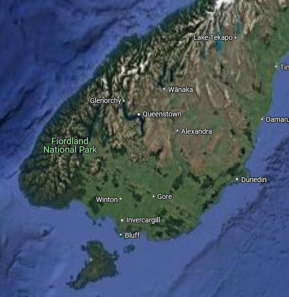
Te Araroa Trail — meaning “The Long Pathway” in Māori — is New Zealand’s premier long-distance hiking trail, stretching over 3,000 kilometers (1,864 miles) from Cape Reinga in the north to Bluff in the south. Thinking about hiking Te Araroa Trail? You’re not alone. Thousands of hikers dream of walking the length of New Zealand each year — and for good reason. This 3,000 km journey is one of the world’s most beautiful and diverse long-distance hikes.
What Is Te Araroa?
Te Araroa (“The Long Pathway” in Māori) is New Zealand’s only official end-to-end hiking trail. It stretches from Cape Reinga at the top of the North Island to Bluff at the bottom of the South Island, covering more than 3,000 km (1,864 miles) of terrain.
The trail opened in 2011 and connects cities, small towns, farmland, beaches, mountains, rivers, and forests into one continuous journey.
🗓️ How Long Does It Take to Hike Te Araroa?
Hiking the full Te Araroa trail generally takes between 4 and 6 months, depending on your pace, route variations, rest days, and weather conditions.
Fast Hikers
- 30–40 km per day
- 3 to <4 months or 90 – 119 days
Average Pace
- 20–29 km per day
- 4 to 5 months or 120-149 days
Slow Hikers
- <20 km per day
- 5+ months or 151+ days
Tips:
- Expect to walk less per day during the first three weeks of your hike as you adjust and gain your “hiker’s legs”.
- Budget for plenty of “zero days” (days where you don’t hike) just in case the weather is bad!
🧭 Should I Start in the North or South?
Southbound
The vast majority of hikers go southbound (SOBO) — starting at Cape Reinga and finishing in Bluff. Here’s why:
- The North Island has more towns and easier terrain, ideal for building trail fitness.
- You’ll have fewer river crossings early on.
- It aligns better with the seasonal weather window (you reach the Southern Alps in summer).
Northbound
Northbound (NOBO) is possible, but there are key drawbacks:
- You’ll hit the most difficult and remote sections first.
- It’s harder to time your walk to avoid winter conditions in the South.
- Some key river crossings may be too dangerous in spring.
📆 When Should I Start the Trail?
Choosing when to start Te Araroa is one of the most important planning decisions you’ll make. The right start time allows you to hike in the best weather windows and avoid seasonal hazards, especially in the South Island.
Recommended Start Window (Southbound):
- October to early December is the ideal time to start at Cape Reinga.
- Starting in October gives you more time and lets you reach the Southern Alps in peak summer (January–February).
- Starting later than mid-December can put you at risk of snow, cold, or flooded rivers when you reach the Southern Alps (usually 2–3 months after starting the trail).
Recommended Start Window (Northbound):
- January to March is the best time to start from Bluff going northbound, as snow will have melted in alpine sections.
- Much of the trail on the South Island is closed seasonally for lambing between August to November.
- You’ll finish the trail in the North Island by mid-autumn.
Tips:
- Starting in winter or early spring (June–September) is not recommended. Many alpine sections are snow-covered, rivers may be impassable, and cold rain is common.
- Always check current trail alerts, weather forecasts, and DOC seasonal updates before setting off.
🌧️ What Is the Weather Like?
Te Araroa passes through nearly every climate zone in New Zealand, and the weather is famously unpredictable.
Expect to encounter:
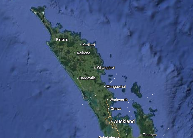
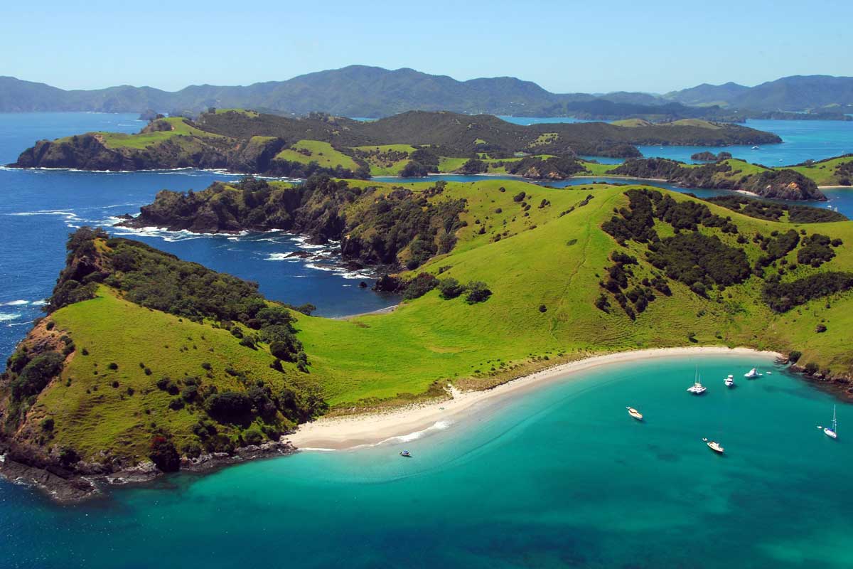
Northland and Auckland
Subtropical — hot and humid summers, occasional heavy rain
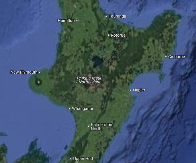
Central North Island
Cooler, with frequent rain and volcanic terrain
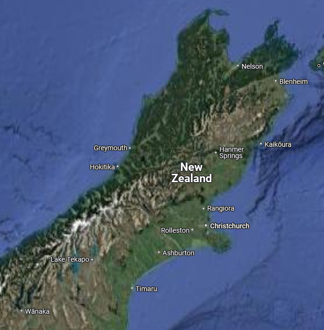
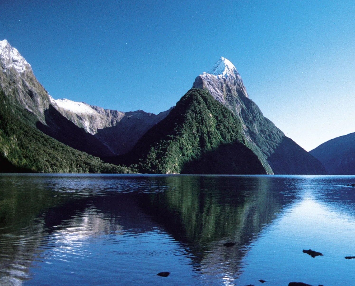
South Island
Alpine and often exposed, with temperatures ranging from hot and dry to snow even in summer
Fiordland and Otago
High rainfall, with strong wind systems and rapid weather changes
Tip:
- Always carry rain gear, warm layers, and check weather forecasts often — especially before entering remote sections.
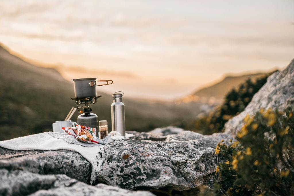
🏕️ Where Do You Sleep?
Hikers use a mix of options depending on budget, location, and weather:
Expect to encounter:
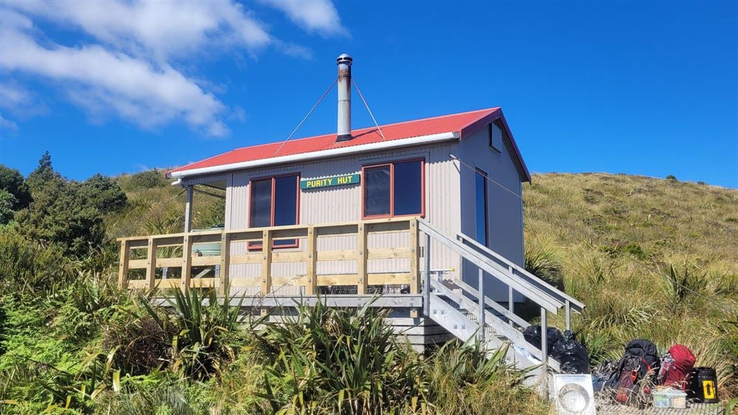
DOC Huts:
The South Island has an excellent network of Department of Conservation (DOC) huts. These range from basic 2-bunk shelters to large serviced huts with mattresses, water, and heating. The Trail Pass includes many 71 DOC huts & campsites in the pass.
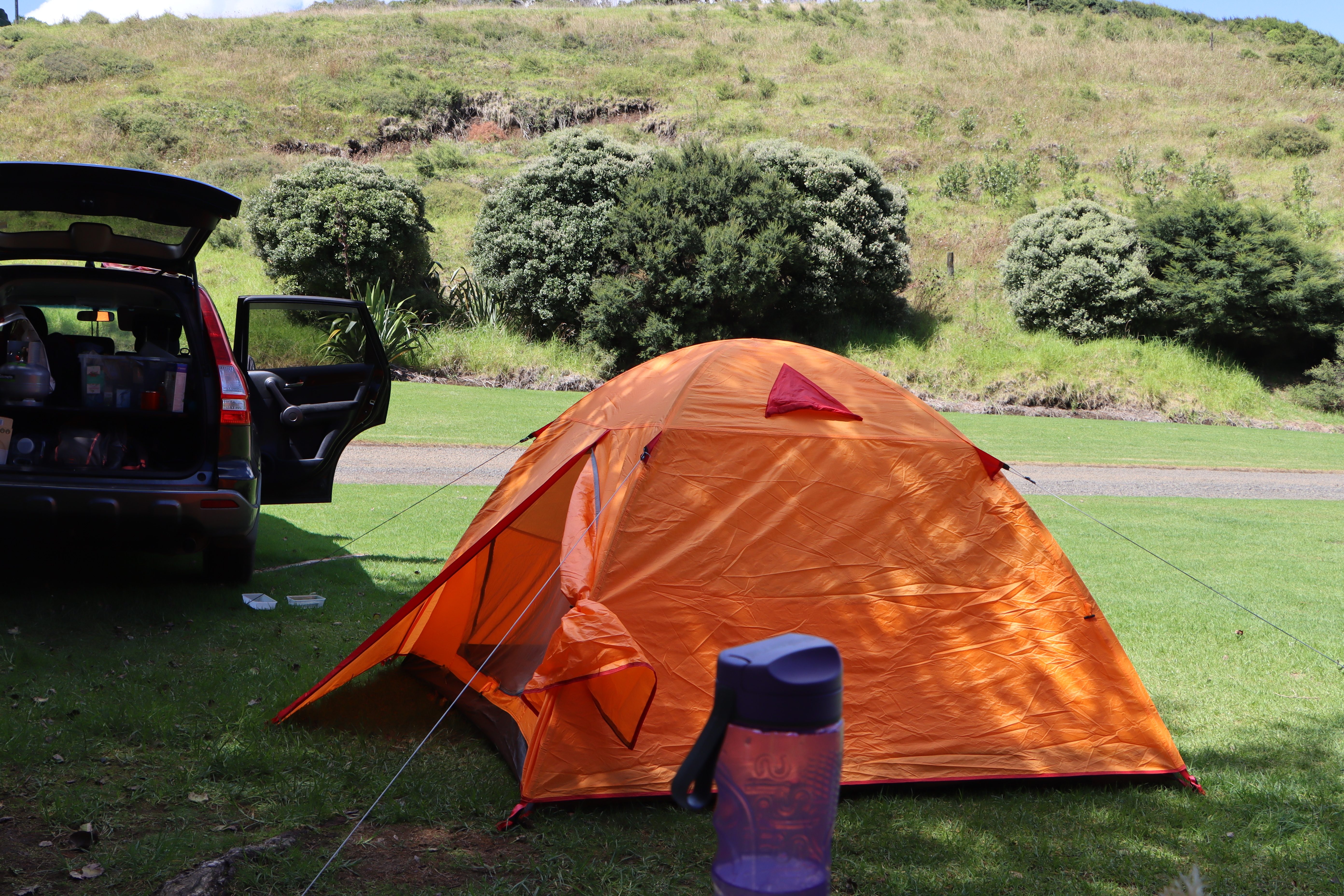
Camping/Freedom Camping:
Legal in many areas but must be done responsibly. You cannot camp on private land without permission. In towns, use holiday parks or campgrounds.
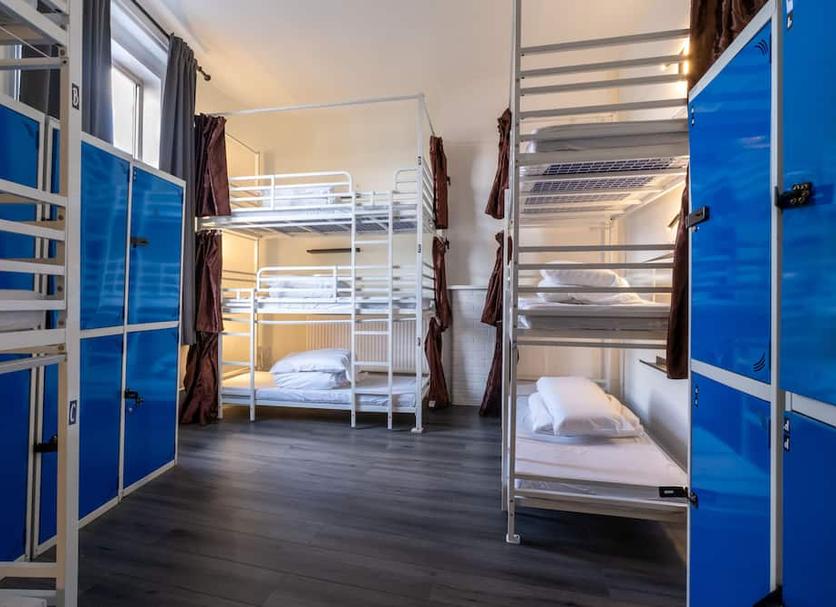
Backpackers & Hostels:
Found in most towns, these are a good option for rest days, showers, and laundry.
Trail Angels:
Generous locals who may offer camping space, rides, food, or accommodation. Always ask respectfully and offer a donation or help in return.
Tip:
- Having a solid, reliable tent is essential — don’t count on huts always being available.
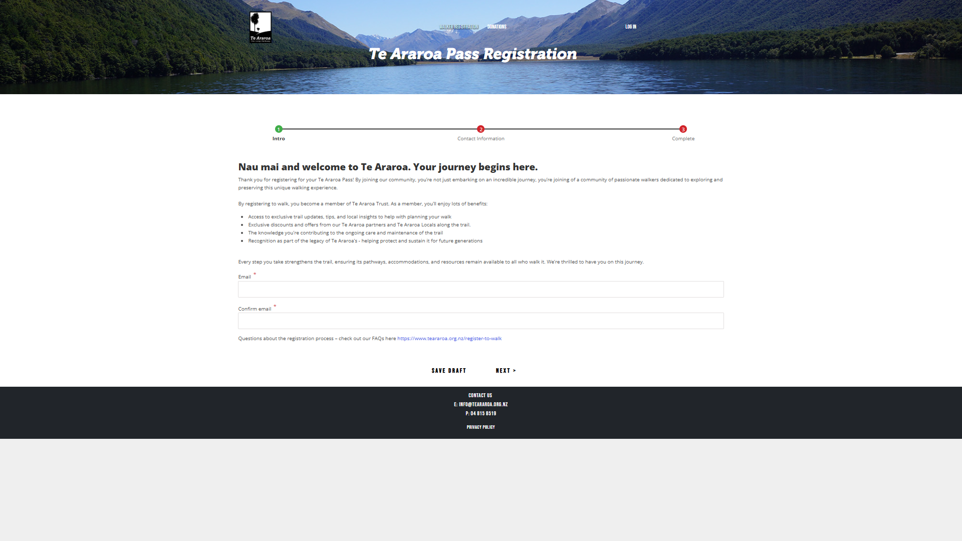
📝 Do I Need to Register?
Yes. All thru-hikers are strongly encouraged to register with the Te Araroa Trust before starting their walk. This helps:
- Maintain accurate hiker data
- Keep you informed about trail closures or detours
- Ensure you’re counted in emergency response efforts
- Fund ongoing maintenance of the trail
The Te Araroa Trust also recommends a $850 NZD donation to support trail upkeep and infrastructure — a small price for access to such a long and well-maintained trail.
🌏 How Remote Is the Trail?
Te Araroa includes:
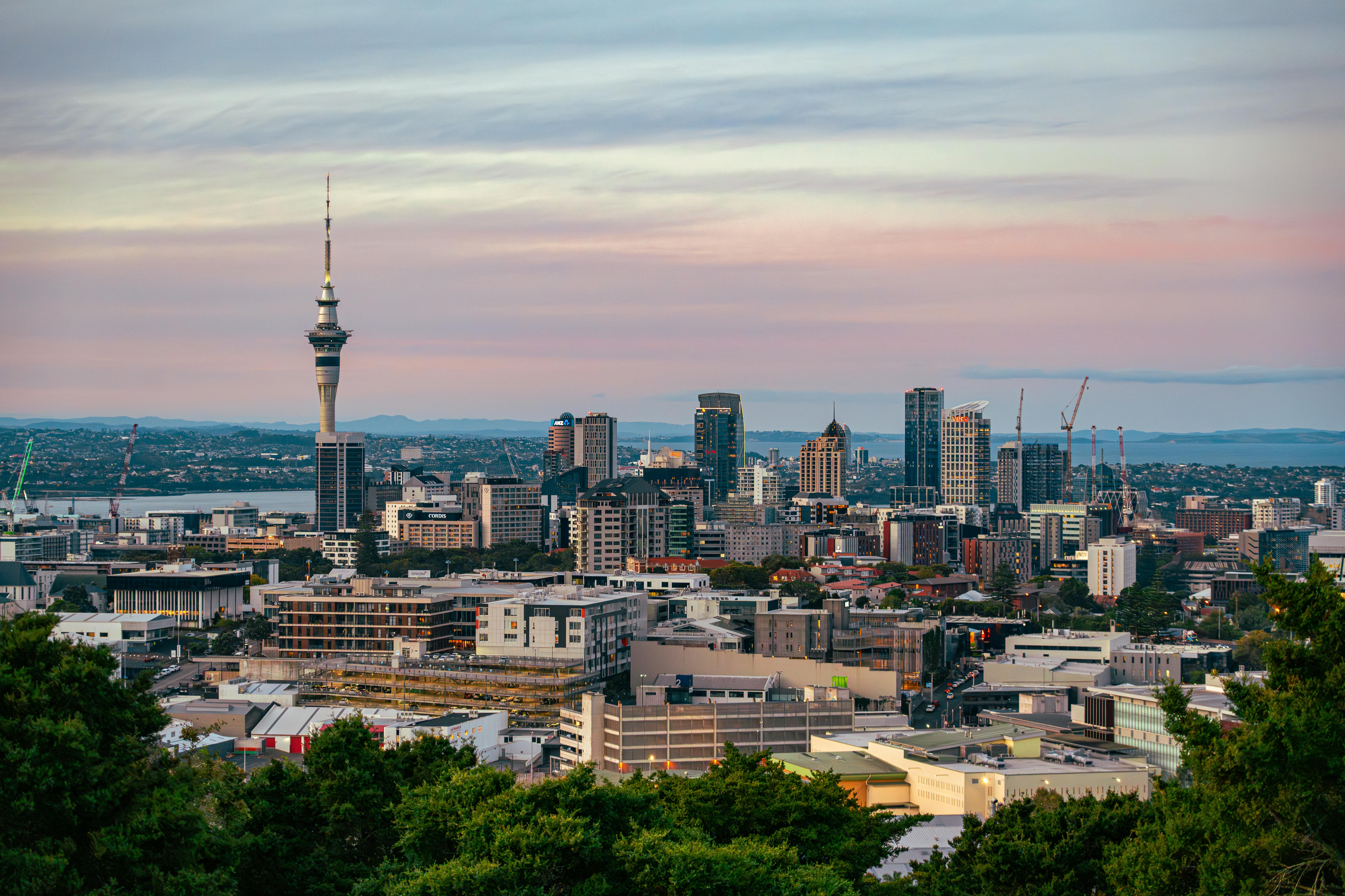
Urban Sections
(e.g., Auckland): Sidewalks, city parks, cafes
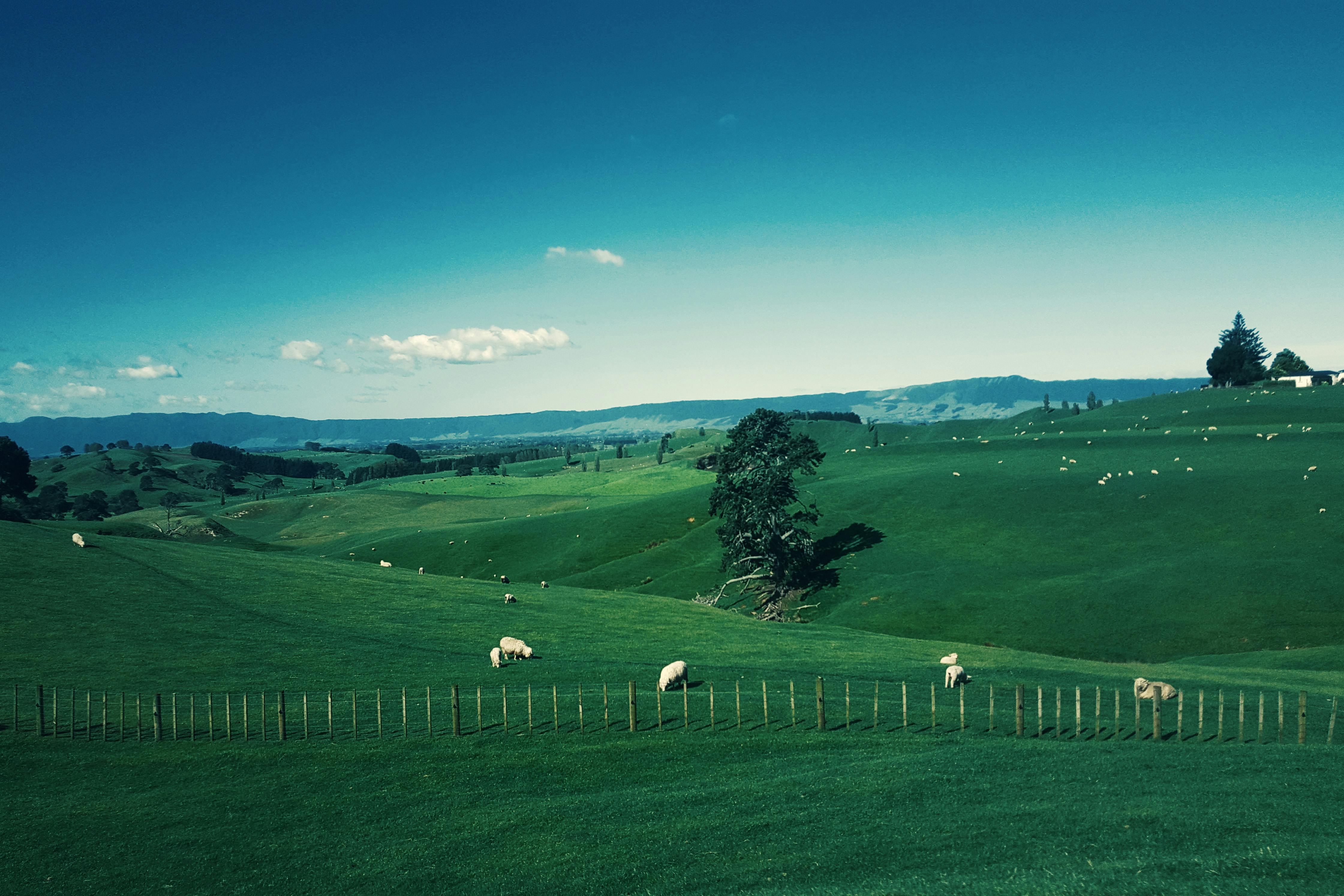
Farmland
Trail follows fence lines or passes through working land (always close gates!)
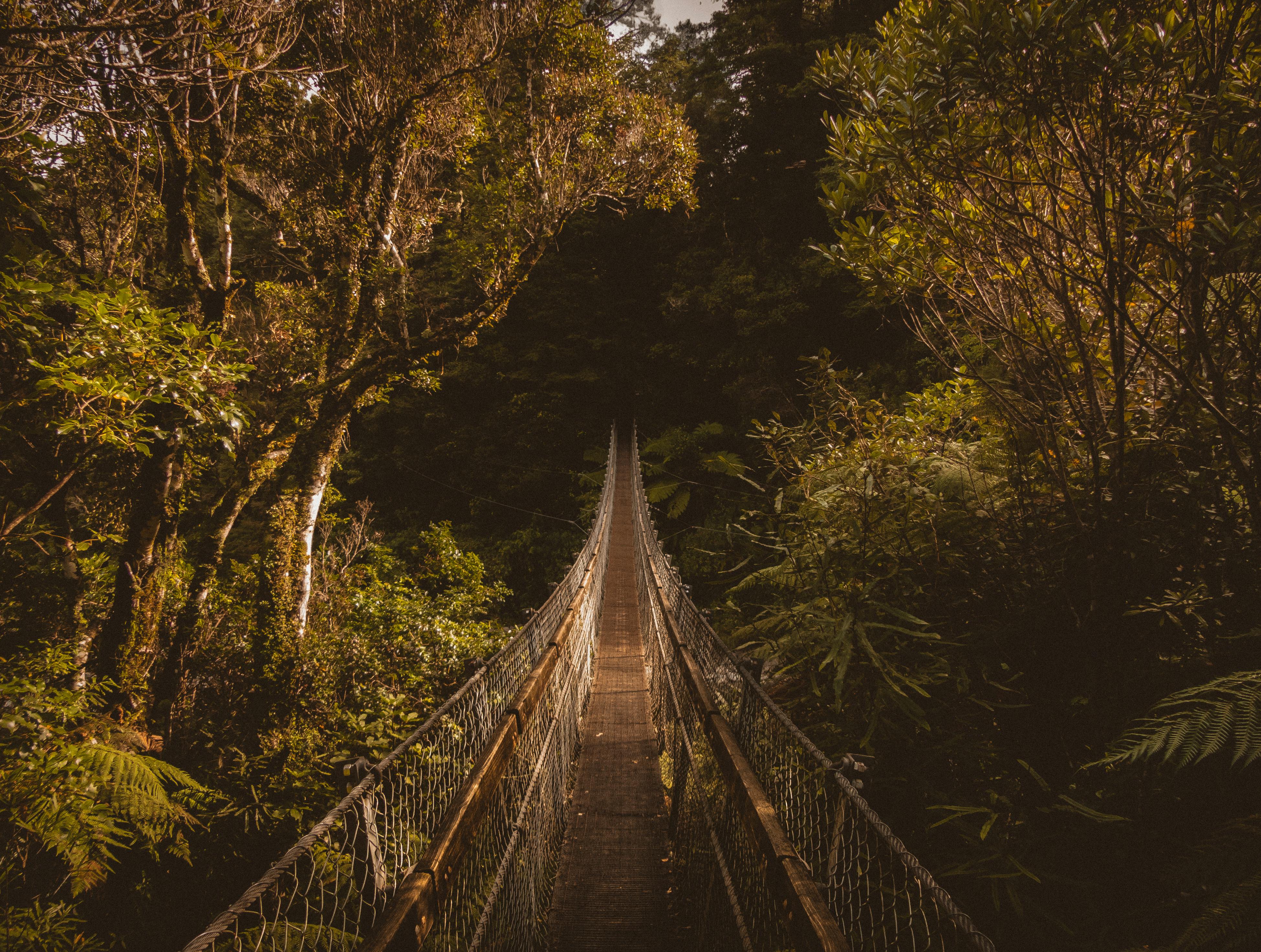
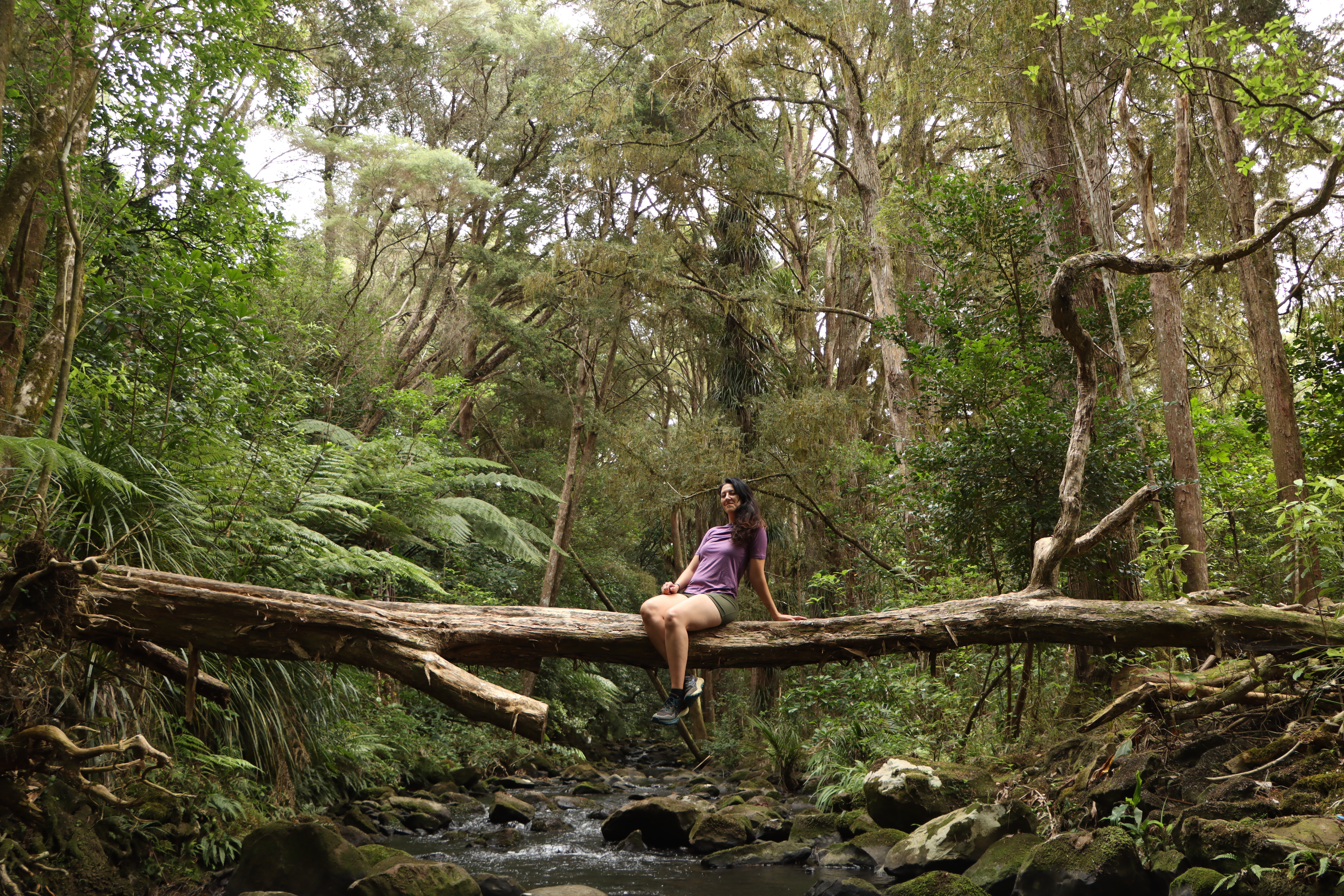
Bush & Forest tracks
Often muddy, overgrown, with stream crossings
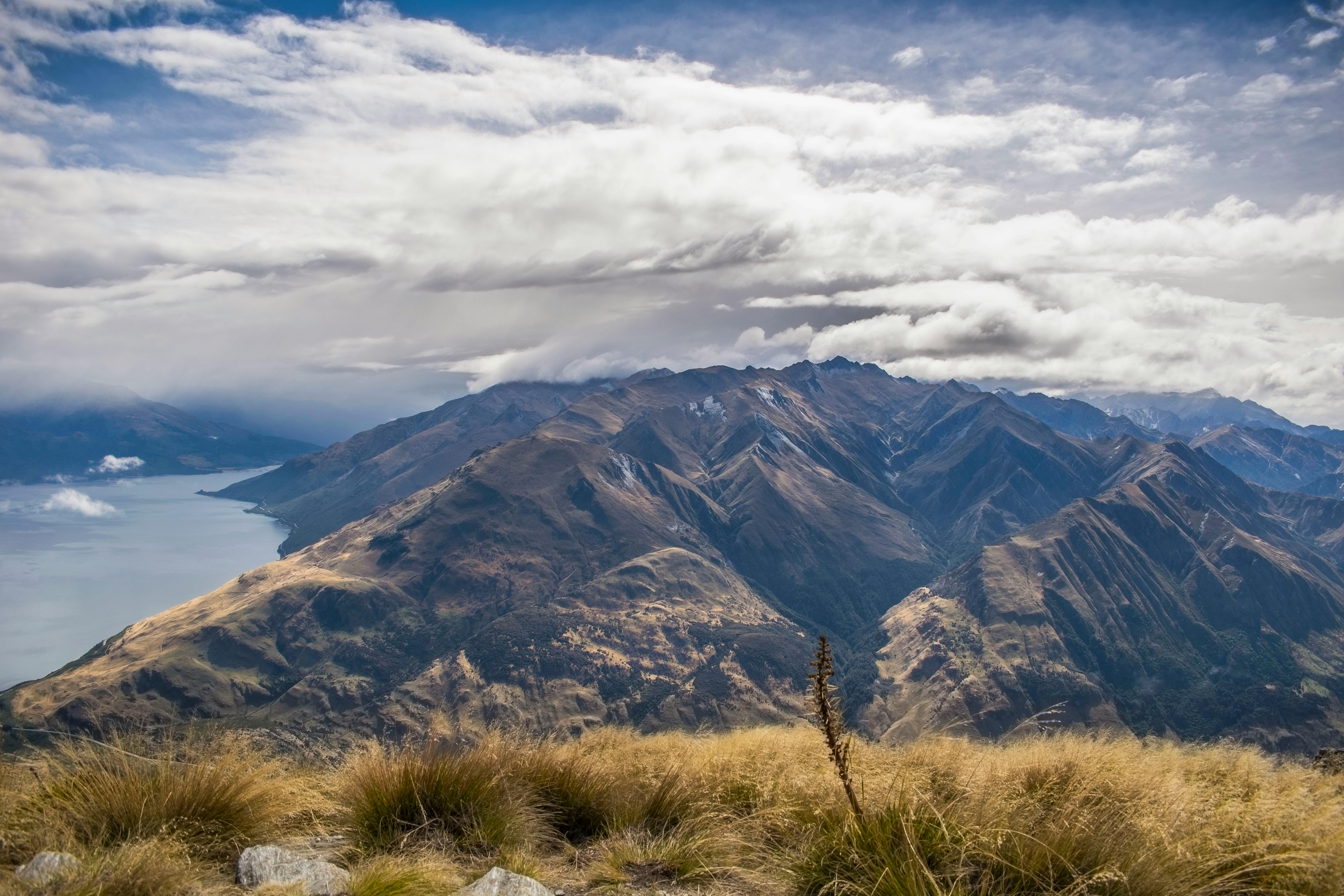
Alpine terrain
Remote, exposed ridgelines and passes in the South Island
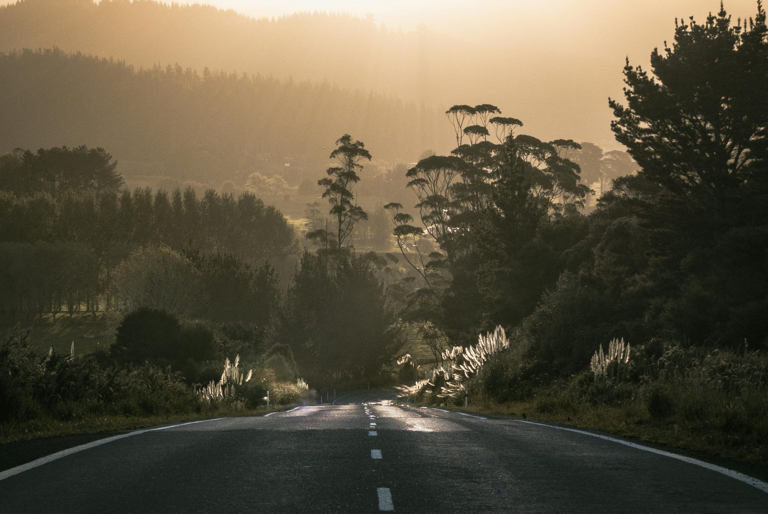
Road walks
Long sections of rural road (some paved, some gravel)
Tip:
- The South Island is much more remote than the North Island, with longer distances between resupply points and limited phone signal. Emergency services can take hours or days to reach you — always carry a Personal Locator Beacon (PLB).
🐾 Is It Safe?
Generally yes — but hikers must be self-reliant and prepared.

Common Risks Include:
- Dangerous river crossings (especially after rain)
- Slippery or muddy tracks
- High UV and sunburn
- Sudden weather changes
- Injury or fatigue in remote areas

Safety Tips:
- Always check the trail notes and weather forecast
- Avoid river crossings after rain; wait or reroute
- Carry a PLB and first aid kit
- Tell someone your plan and check in regularly
Tips:
- New Zealand has no dangerous predators or snakes, but sandflies and wasps can be annoying!
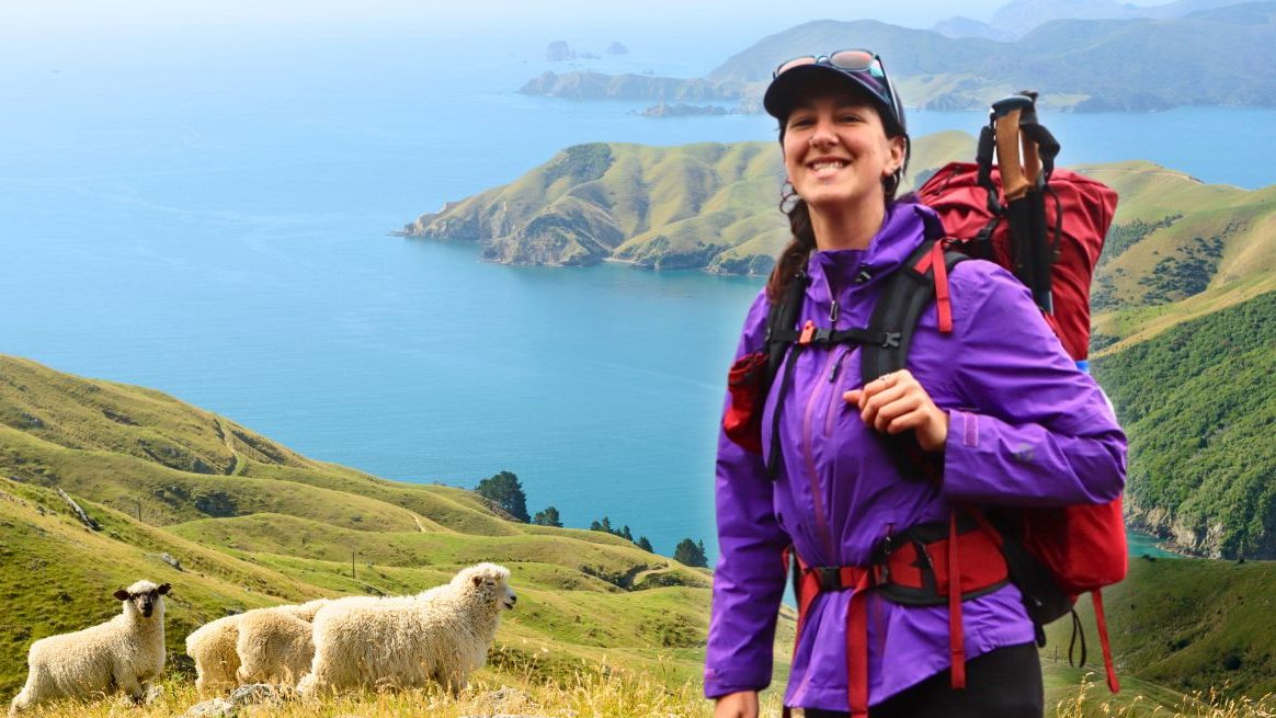
❤️ Why Do People Walk Te Araroa?
Everyone has their own reason — and most hikers say the trail changes them in unexpected ways.
Common motivations include:
- A major life transition or turning point
- A deep love for hiking and nature
- A desire to explore New Zealand at ground level
- To unplug and reconnect
- For the challenge, solitude, or social adventure
Along the way, you’ll meet fellow trampers, kind locals, and find moments of both hardship and awe. Whether it’s the silence of the Richmond Ranges or the simple joy of hot chips in a tiny town, Te Araroa becomes much more than a trail — it becomes part of your story.
Have an unanswered question?
💜 Send me your query and I’ll get it added to my website! 💜

